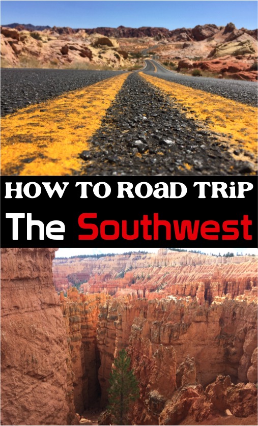
Before you hit the road, read this American Southwest Road Trip Itinerary from Las Vegas to plan your next road trip adventure!
There is nothing quite like the Southwestern USA.
No other region of the country boasts such a stunning array of deserts, mountains, forests, and canyons. The abundant rivers, lakes, and rare wildlife simply just add to this complex and beautiful display of land covering Nevada, Utah, and Arizona!
This region is also home to many iconic American spots like Las Vegas, the Grand Canyon, Arches National Park, among others! It’s safe to say to say that road tripping through this corner of America should be on everyone’s Bucket List!
My 14 day American Southwest Road Trip Itinerary has the perfect mix of the region’s iconic sights as well as some hidden gems that are commonly overlooked. Having visited this region countless times, I’ve also compiled the best ways to save money on your trip, as well as tips on when you should visit!
If you’re in the mood for colorful canyons, vast deserts, snowy mountains, and all around iconic American landscapes, then this Southwest trip is for you. Here’s what you’ll need to do to plan the road trip of a lifetime…
American Southwest Road Trip Itinerary:
Day #1: Fly into Las Vegas
Catch a morning flight to Las Vegas, and let the adventure begin! The earlier you land in Las Vegas, the more time you’ll have to sightsee in the city.
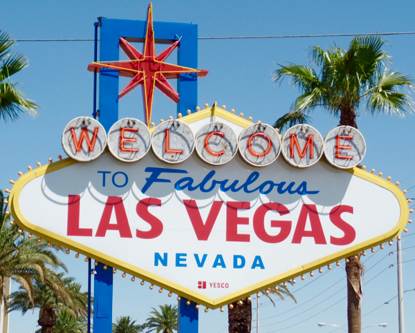
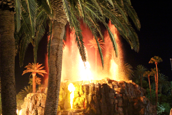
There are so many epic hotel lobbies, delicious buffets, and exciting sights to see! The iconic Welcome to Fabulous Las Vegas Sign, Bellagio Fountains, Paris Las Vegas, New York New York Hotel, The Venetian, and the Mirage Erupting Volcano are just some of the epic things to see in Vegas.
As the city with the most hotel rooms, finding a nice, affordable place to stay won’t be an issue! You’ll want to stay somewhere centrally located on the Strip, since you’ll just be here two nights.
- For more information on what to see and do in Las Vegas, check out my Las Vegas Budget Travel Guide.
Welcome to Fabulous Las Vegas Sign
The Bellagio Fountains
Paris Las Vegas
New York New York Hotel
The Venetian
The Mirage Erupting Volcano
{For More Information, check out the Las Vegas Budget Travel Guide}
Day #2: Day Trip to Valley of Fire from Las Vegas
Driving time: 2 1/2 hours roundtrip | 120 miles
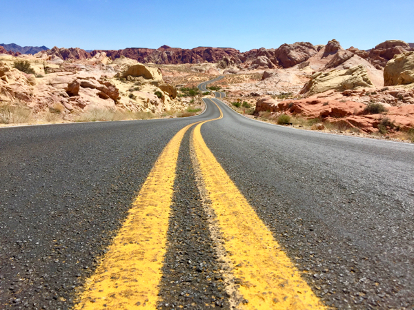
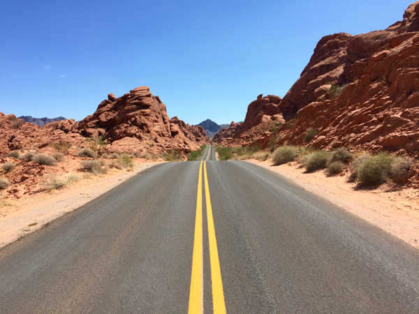
A visit to this Nevada state park is the perfect day trip from Las Vegas. The terrain at the Valley of Fire is unlike anywhere else in the region. Basically, it’s like driving into a sea of red and white rocks surrounded by the barren Mojave Desert. Despite is proximity to Vegas, Zion, and the Grand Canyon, this park is oddly overlooked. But that just means you can enjoy this beautiful scenery without the crowds!
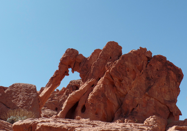
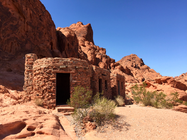
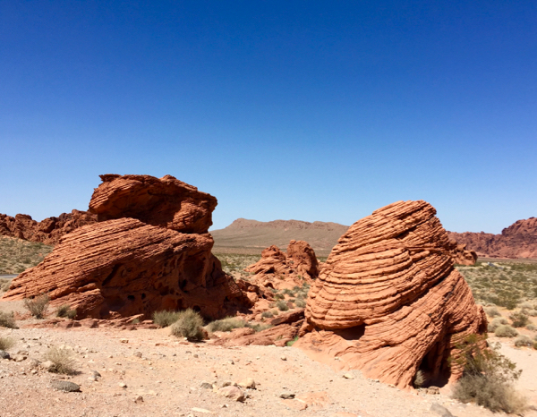
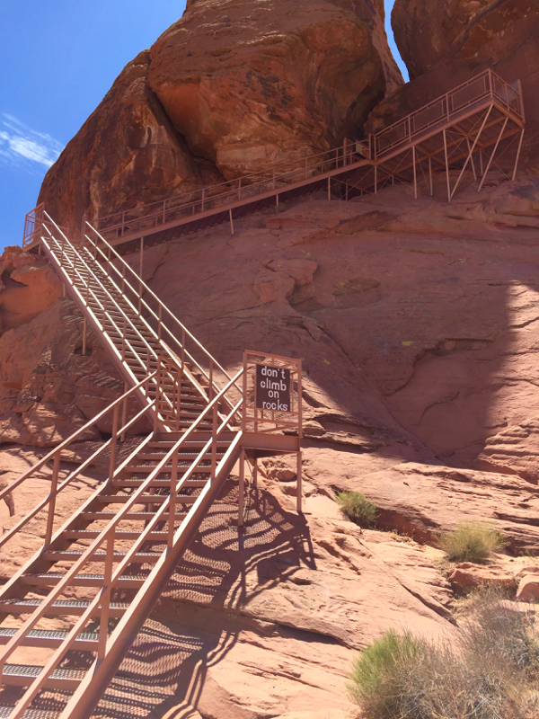
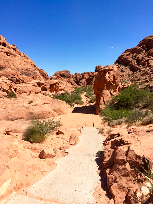
For your day here, the best things to see include Elephant Rock, The Cabins, The Beehives, Atlatl Rock, the Fire Canyon Overlook, and the 0.8-mile Mouse’s Tank Trail. As a fairly compact park, you’ll have no trouble getting around and seeing this incredible terrain!
On a quick side note, once you’re back in Las Vegas, you can also catch up on any sightseeing you may have missed on Day 1.
- For more information on what to see and do in the Valley of Fire, check out my Valley of Fire State Park Hikes and Tips.
Elephant Rock
The Cabins
The Beehives
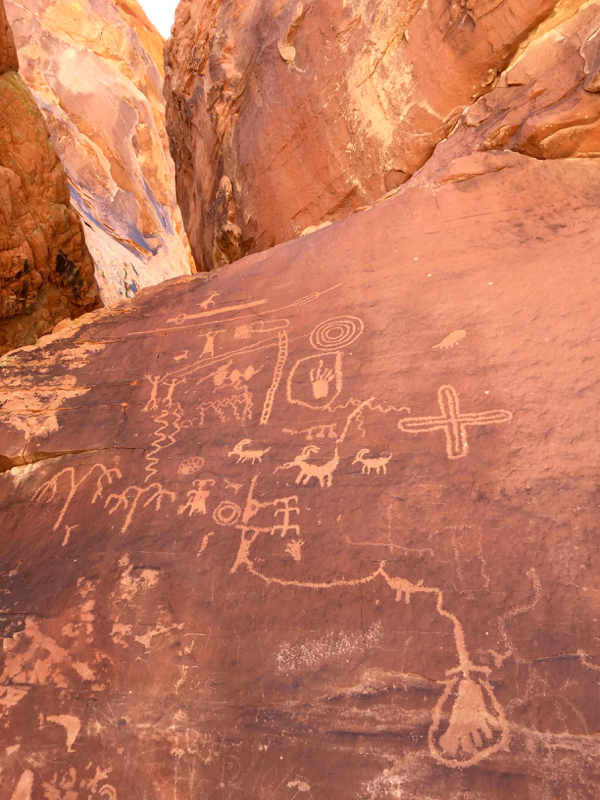
Atlatl Rock Petroglyphs
Mouse’s Tank Trail
{For More Information, check out the best Valley of Fire State Park Hikes}
Day #3: Drive to Zion
Driving times: 2 1/2 hours to Zion | 162 miles
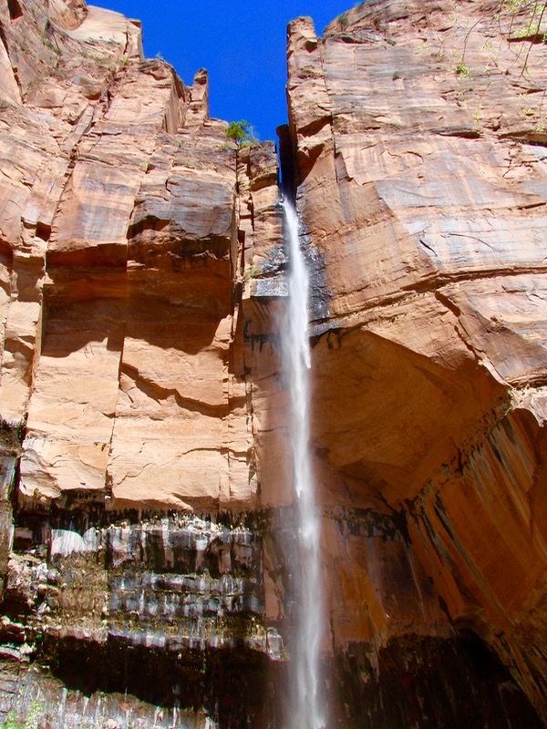
With dramatic red cliff walls, beautiful slot canyons, thundering waterfalls, dreamy hikes, and incredible wildlife, Zion National Park gives quite the glorious welcome into Utah!
At Zion, most of the hotels are located in nearby Springdale. For campers, the Watchman Campground in Zion National Park and Zion Canyon Campground and RV Resort in Springdale are the places to go.
The one thing to note when driving from Las Vegas to Zion is the time change. Nevada is on Pacific Time, and Utah is on Mountain time, so you’ll jump an hour ahead while driving to Utah!
If you get an early start on driving, and quickly check in to your hotel or set up your campsite, then you’ll still have half a day for exploring. You could walk along the paved Pa’rus Trail in Springdale (which is dog friendly!), or take the tram up into Zion and hike the Emerald Pools or Riverside Walk.
Emerald Pools
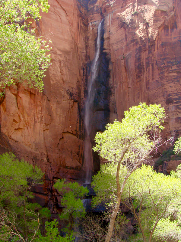
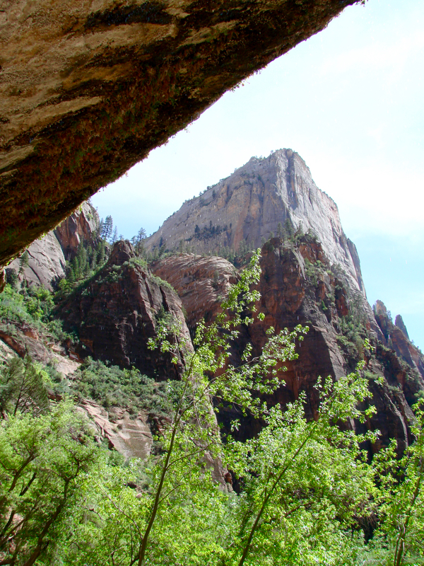
Underneath Weeping Rock
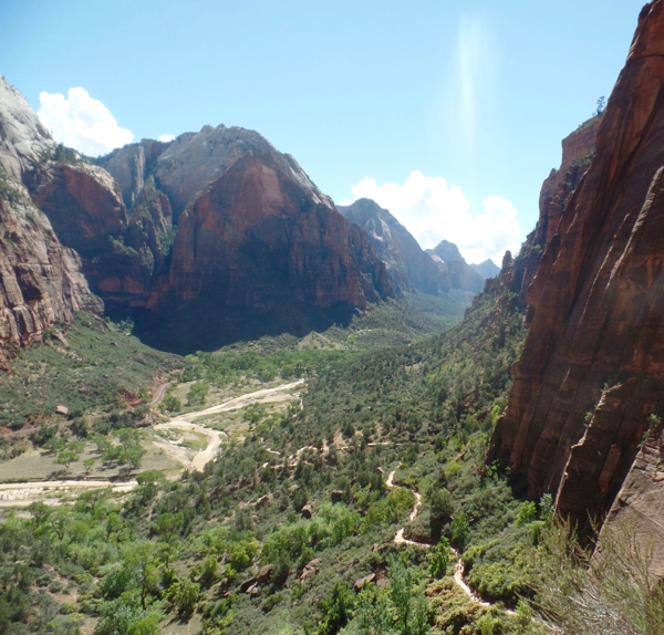
View down Zion Canyon
Day #4: Zion National Park
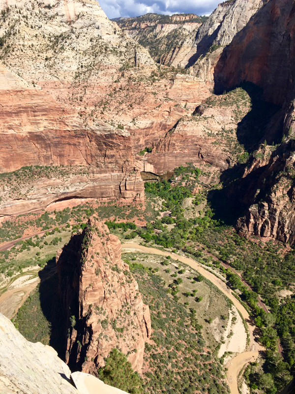
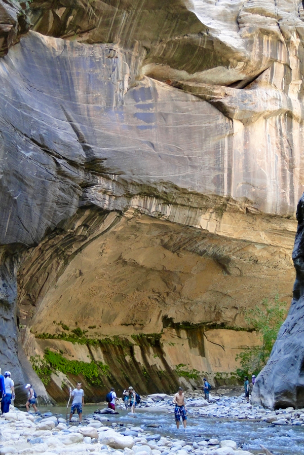
Today is your full day at Zion! There are SO many things you could do. If you’re up for a strenuous hike with a serious payoff, Angel’s Landing provides views like no other trail. On the contrary, if you want a hike that’s fairly flat and criss crosses a river in a towering slot canyon, the Narrows are the way to go!
- For more information on what to see and do in Zion National Park, check out my Zion National Park Hikes and Tips.
The view from Angel’s Landing
The Narrows
{For More Information, check out the best Zion National Park Hikes}
Day #5: Drive from Zion to Bryce
Driving times: 2 hours to Bryce | 84 miles
After a full day of exploring Zion, it’s time to hit the road again!
Today, you’ll be driving from Zion National Park to Bryce Canyon National Park, an easy 2 hour drive. While Zion National Park mainly revolves around the dramatic Zion Canyon, with towering walls shaded in hues of red and white, Bryce Canyon is much different. The name “Canyon” is actually a bit of a misnomer, as Bryce is actually a series of massive amphitheaters filled with eroded orange rock pillars called hoodoos.
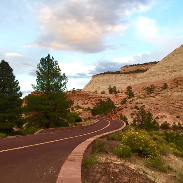
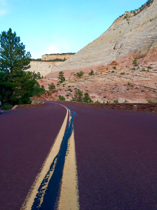
Driving East out of Zion
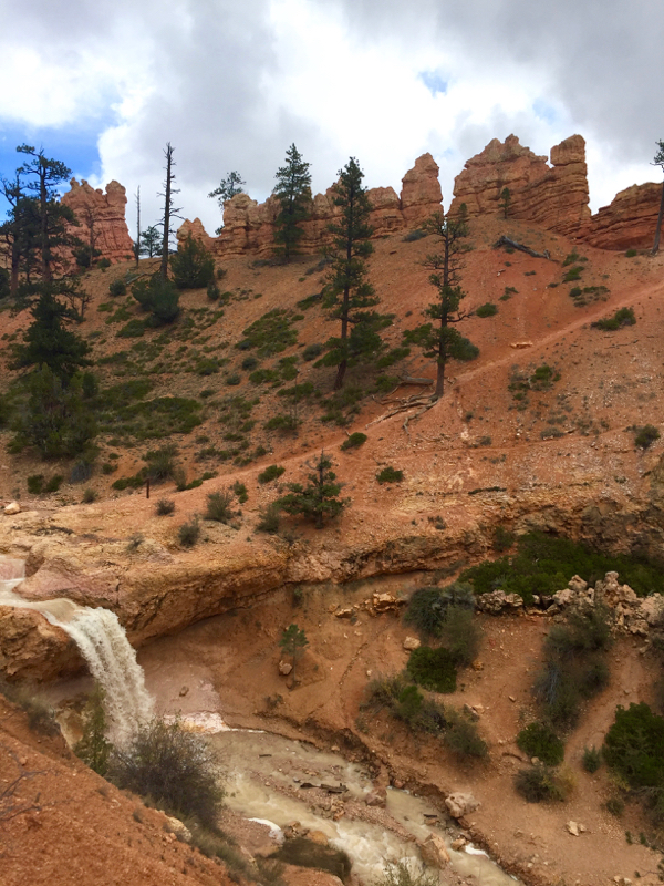
After the drive and checking into your hotel or setting up your campsite, you’ll be left with a half day at Bryce today. For today it would be best not to do anything too strenuous. As Bryce is located over 9,000 feet in elevation, it’s best to take it easy the first day while you adjust to the altitude! Check out the stunning views along the Rim Trail, or head 5 miles east and visit the waterfall along the Mossy Cave Trail.
For accommodations, the town of Bryce, just outside of the National Park has plenty of hotels, as well as the town of Tropic which is 9 miles east. As for campgrounds, Bryce Canyon has the North Campground and Sunset Campground. Neither campgrounds have RV hookups, but there is a dumping station for waste in the North Campground.
Day #6: Bryce Canyon National Park
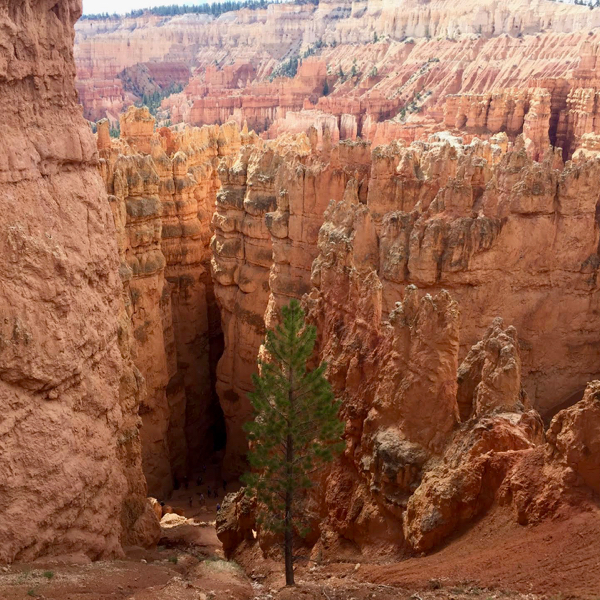
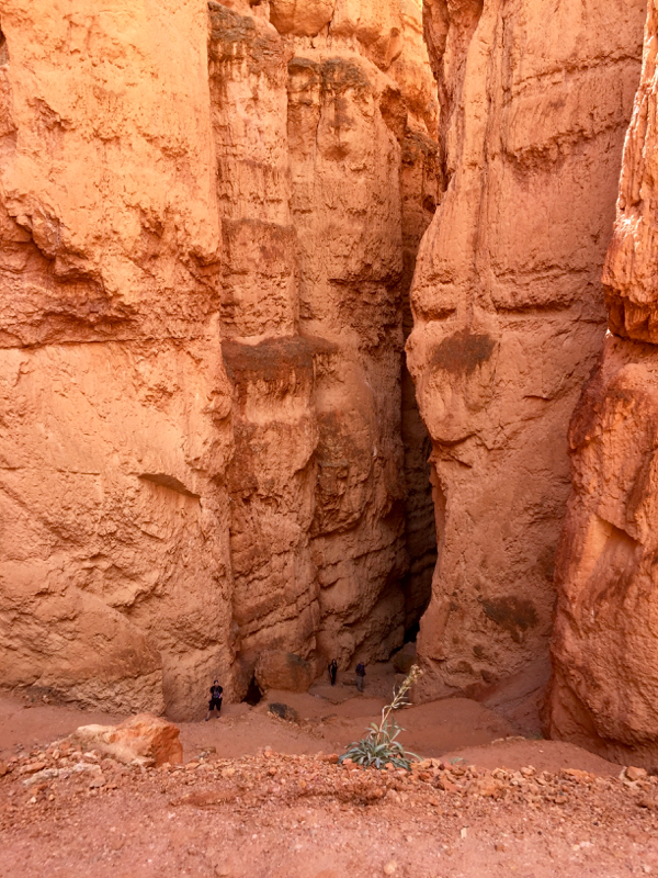
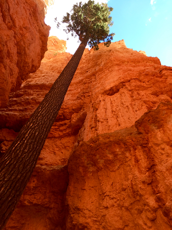
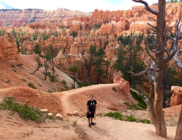
To kick off your full day at Bryce, there is no better hike than the Wall Street – Queen’s Garden loop. This 3 mile hike begins by descending down into the Bryce Amphitheater via “Wall Street” – a slot canyon with towering walls on either side. Unlike it’s New York counterpart, these towers are made of massive stone pillars rather than glass and steel buildings! The trail then flattens out for a while at the bottom, before gradually climbing back up to the rim.
The Wall Street – Queen’s Garden Trail
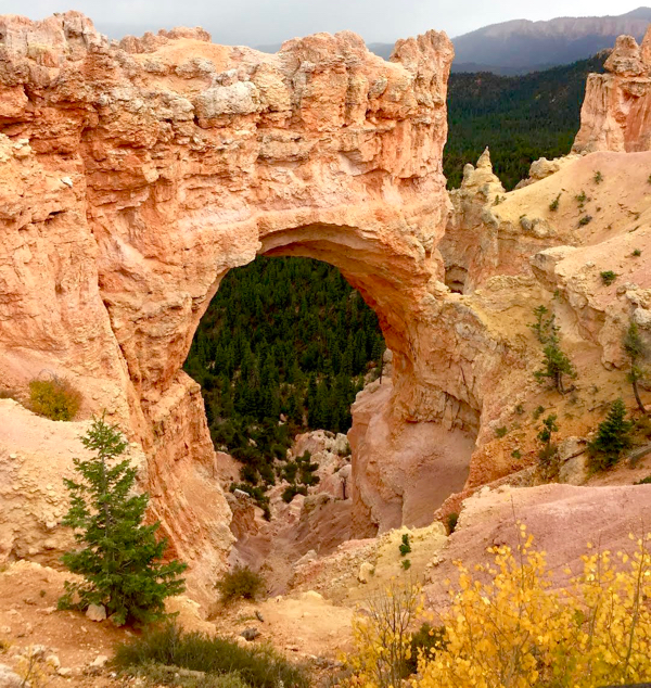
After hiking, hop in your car and take a scenic drive down Highway 63 south and visit all of Bryce’s viewpoints. Bryce Point, Natural Bridge, and Yovimpa/Rainbow Points are the most scenic of the bunch!
- For more information on what to see and do in Bryce Canyon National Park, check out my Bryce Canyon Travel Tips.
Natural Bridge
{For More Information, check out my top Bryce Canyon Travel Tips}
Day #7: Drive one of the most scenic routes in the world: Highway 12
Driving times: 2.5 hours to Capitol Reef | 122 miles
From Bryce Canyon, the most scenic way to get to your next destination (Capitol Reef) is taking Highway 12. Often regarded as one of the most beautiful drives in America, Highway 12 slices right through the center of Utah connecting Bryce Canyon to Capitol Reef. Along the way you will drop from the high forests of Bryce and pass through miles of high-desert farmland, before going back up over a small mountain range and descending to the vibrant red cliffs of Capitol Reef!
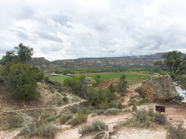
View over the town of Escalante
Escalante Petrified Forest State Park
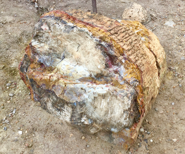
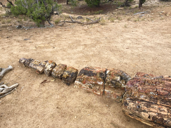
Start by heading east for 46 miles (about 50 minutes) to the Escalante Petrified Forest State Park, which is home to a beautiful display of petrified wood. The park has a 1 mile loop trail (Petrified Forest Trail) and an additional 0.75 mile loop (Sleeping Rainbows Trail). I recommend hiking both trails, which are 1.75 miles in all, to see the most petrified wood. You’ll also be rewarded with views over the nearby reservoir and town of Escalante!
Petrified wood…
…and more petrified wood.
Lower Calf Creek Falls
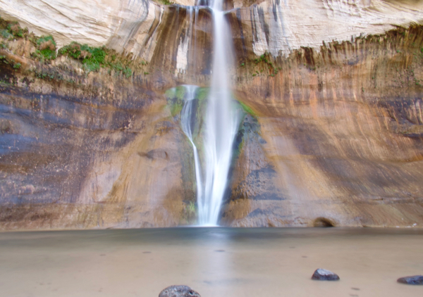
After seeing the petrified forest, continue driving east for 18 miles (about 25 minutes) to the Lower Calf Creek Falls Trailhead. While this trail is 6 miles roundtrip, there is virtually no elevation change as you are hiking through a flat, beautiful canyon the whole way! This trail is one of my favorites in all of Utah, and you really don’t want to miss this hidden gem!
Lower Calf Creek Falls – a true oasis in the desert!
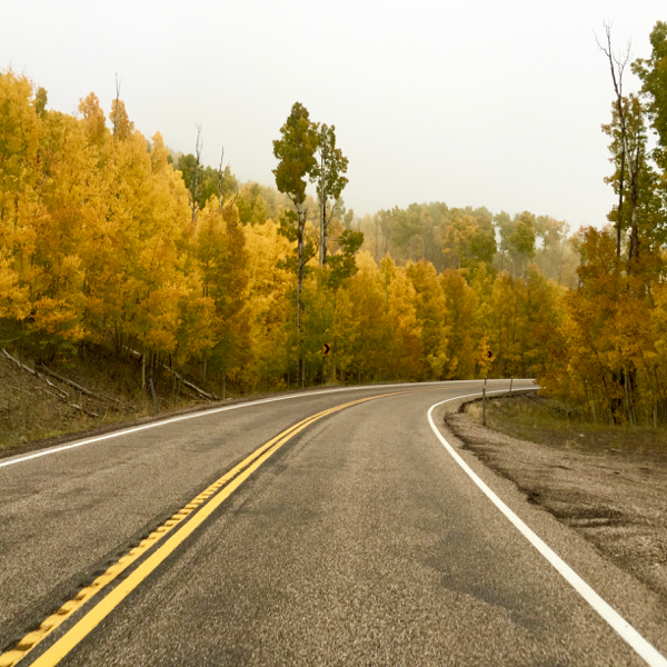
Now from Calf Creek Falls, you’re just 59 miles, or about an hour and twenty minutes from Capitol Reef National Park. After driving the scenic highway over the Bluebell Knoll into Capitol Reef, it’s time to find a place to stay. The town of Torrey, just outside of Capitol Reef, is home to several hotel options. Inside the National Park is the Fruita Campground, located between the Fremont River and towering red rocks.
Driving over the Bluebell Knoll, between Calf Creek Falls and Capitol Reef
Day #8: Morning Hike in Capitol Reef National Park; Then Drive to Moab
Driving time: 2.5 hours to Moab | 146 miles
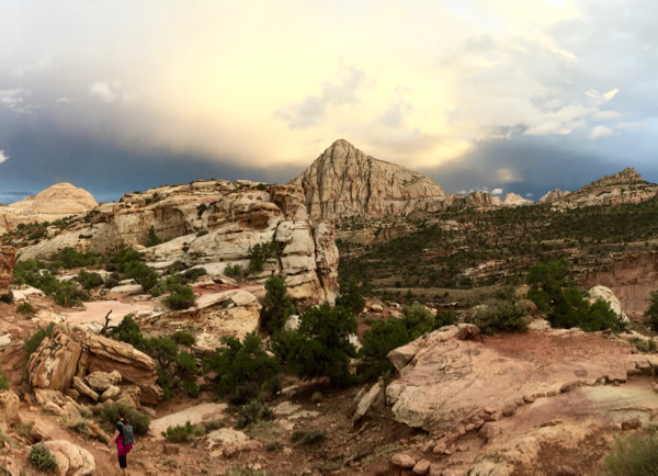
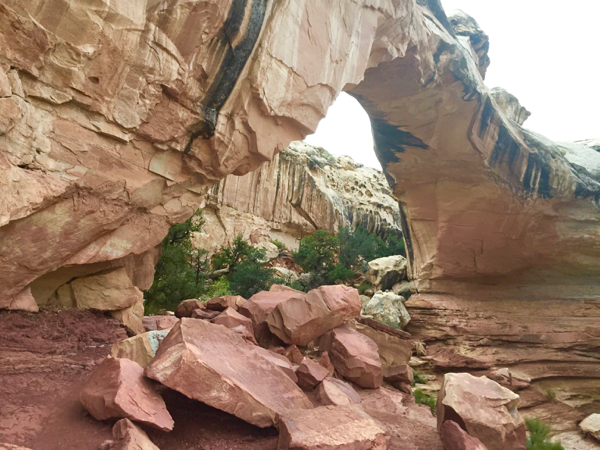
Capitol Reef isn’t a huge park, so you really don’t need to spend more than half a day there. The best hike by far is the Hickman Bridge Trail, which is 1.8 miles roundtrip. The trail, which starts at the flowing Fremont River, quickly ascends a series of switchbacks, before winding through a rocky canyon up to the base of the arch. With great views all along the trail, you just can’t miss this amazing hike!
{For More Information, check out this Capitol Reef National Park Travel Guide}
From Capitol Reef, it’s an easy 2 and a half hour drive to the rugged town of Moab, where you’ll spend the next three nights.
Moab, which is located in eastern Utah, is the main hub for exploring Arches National Park (10 minutes away), and the Island-in-the-Sky district of Canyonlands National Park (40 minutes away). In addition to these national parks, the ginormous Corona Arch and sweeping views from Dead Horse Point State Park are both worth visiting, too!
As the premier adventure hub of Utah, Moab is packed with a great selection of hotels for every budget, as well as a wide selection of camping options.
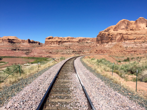
Railroad tracks outside of Moab
Days #9: Arches National Park
Driving time: 1 hour 30 minutes roundtrip | 48 miles
You can easily spend a whole day exploring Arches National Park, home to some of Utah’s most iconic landscapes! With enormous sandstone fins running in every direction, freestanding arches framing snowcapped mountains, scenic drives past precariously balanced rocks, and a paradise for the trail lover, Arches is all around one of the most impressive national parks in the world.
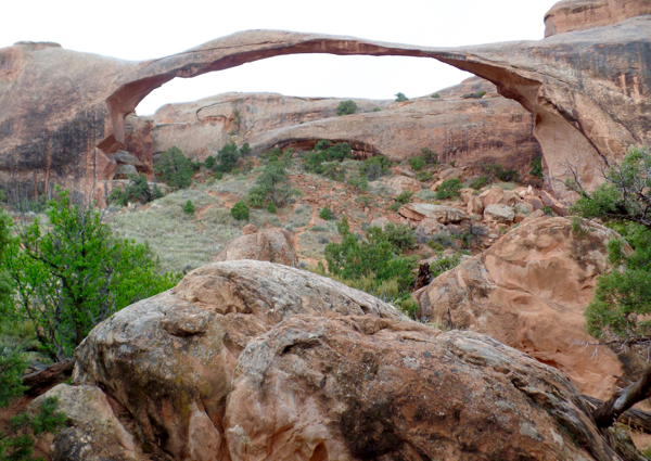
Start the day by hiking the Devil’s Garden Trail to Landscape Arch (1.6 miles roundtrip). This hike is flat, sandy, and all around perfect for people of all ages! The payoff is seeing one of the longest natural bridges in the world.
Landscape Arch, one of the longest in the world. Not a bad payoff for an easy trail!
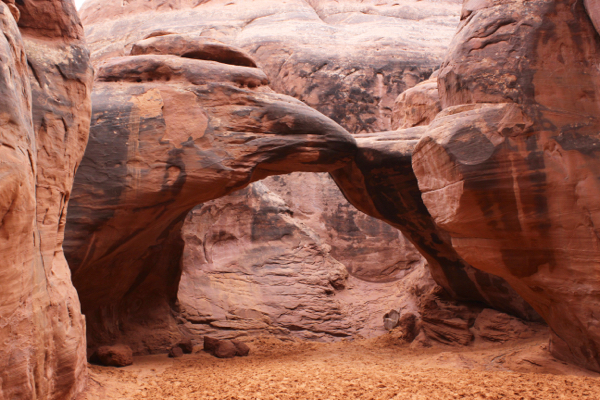
Next up, take the 0.3 mile hike to Sand Dune Arch. The trail, which also happens to be flat and sandy, quickly enters into the narrow canyon between the towering rock monoliths and before you know it, you’ll see the arch to your right!
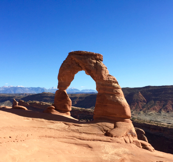
And now, any visit to Arches National Park would not be complete without seeing Delicate Arch. This arch became famous when the Olympic Torch was carried through it for the 2000 Salt Lake City Winter Olympics, and today is now on the Utah State License Plate!
At three miles roundtrip, this hike is moderate in length. The trail does climb up pretty steeply, although the end payoff is simply astounding. Just look at this picture below for proof!
- For more information on what to see and do in Arches National Park, check out my Arches National Park Travel Guide.
Day #10: Canyonlands National Park and Corona Arch in Moab
Driving times: 2 hours 40 minutes roundtrip | 118 miles
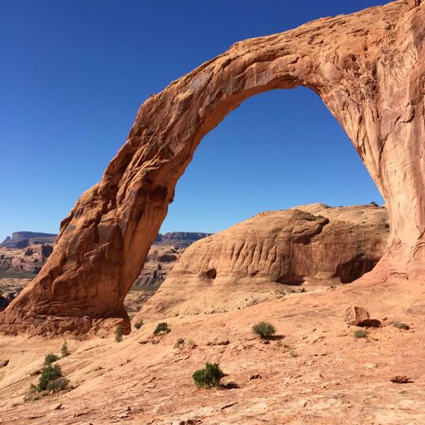
Corona Arch
For your second full day in the Moab area, start off by heading west of town to the Corona Arch trailhead. This massive arch is free to visit and located on BLM Land. Though it may be overshadowed by the popularity of Arches National Park, that just means there will be less crowds there! The trail to Corona Arch is 3 miles roundtrip and crosses some railroad tracks and has two steep climbs. As you can see in the picture below, this arch is massive – even larger than Delicate Arch!
Canyonlands National Park
Next up is Canyonlands! After fueling up on lunch back in Moab, it will be about a 45 minute drive up to the Canyonlands entrance. Fortunately, the hikes in Canyonlands are not too strenuous. Now, Canyonlands National Park is a massive park with five districts that have entrances several hours apart from each other. For today, the Island in the Sky District is where you’ll be going.
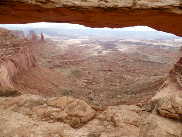
Mesa Arch – Canyonlands
First up is Mesa Arch. Framing the wide canyon expanses, Mesa Arch is one of the most amazing and iconic spots in all of Canyonlands National Park! There is an easy, relatively flat 1/2 mile trail to the arch. Because the arch faces East, it’s also a cool spot to view the sunrise, too!
Mesa Arch – Canyonlands National Park. An iconic Windows screensaver!
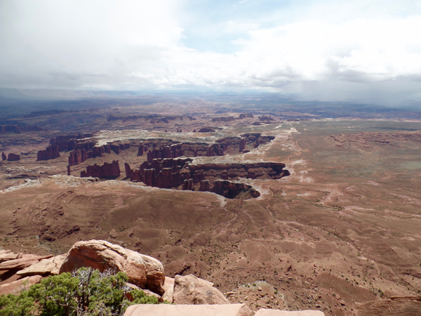
And then there is the Grand View Point Trail (2 Miles Roundtrip). At the end of the Island in the Sky Road, Grand View Point Trail will take you to the edge of a 1,000 foot cliff, where you’ll be rewarded with breathtaking views over the park! You can see the White Rim Road, as it makes its way across the flat plateau below you, and the multiple canyons inside of canyons all around. This place truly lives up to its name!
{For More Information, check out this Canyonlands National Park National Park Travel Guide}
Grand View Point – Canyonlands National Park
Day #11: Drive from Moab to Flagstaff
Driving time: 6 hours 45 minutes to Flagstaff | 396 miles
After three nights in beautiful Moab, it’s time to hit the road again. At 6.5 hours this will be the longest drive of the trip, but I’ve broken it up into easier 2 – 2.5 hour increments with stops along the way in Monument Valley and Horseshoe Bend!
Monument Valley
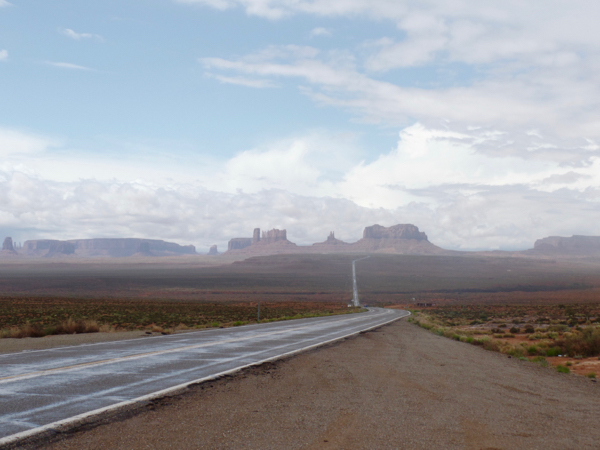
Straddling the Arizona-Utah border, iconic Monument Valley is just 2 and 1/2 hours south of Moab, and requires a $20 entrance fee to visit. You’ll instantly recognize the towering red rock monoliths which have been featured in dozens of films throughout the years! Overall, Monument Valley is a true icon of the American West and shouldn’t be skipped!
Descending towards Monument Valley
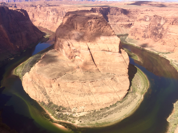
Horseshoe Bend
Next up is Horseshoe Bend, which is a 2 hour’s drive from Monument Valley. Unlike Monument Valley, Horseshoe Bend owes all of its popularity to the rise of social media over the past few years, and is the perfect place to test out your Phone Photography Skills! Just stay back from that steep edge!
Flagstaff
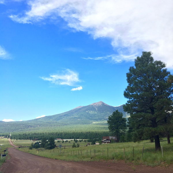
From Horseshoe Bend, there is about 2 hours and 20 minutes more of driving until you reach the beautiful city of Flagstaff. Set among a large pine forest in the shadow of the San Francisco Peaks, it is home to Arizona’s tallest mountain range.
The past few years have been a renaissance of sorts for this former Route 66 town. As the gateway to the Grand Canyon and Sedona, Flagstaff is experiencing a wave of new hotels, restaurants, and stores setting up shop all over the city. Fortunately, that means that there is a wide range of hotels for every price range! There are also a large number of campgrounds and RV Parks on the outskirts of the city.
{Go check out these Flagstaff RV Parks}
Day #12: Day Trip to Sedona from Flagstaff
Driving time: 2.5 hours roundtrip | 85 miles
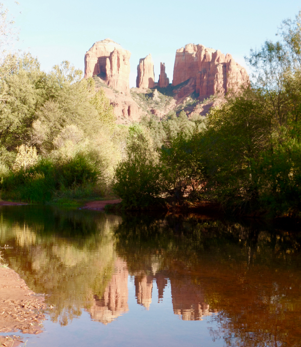
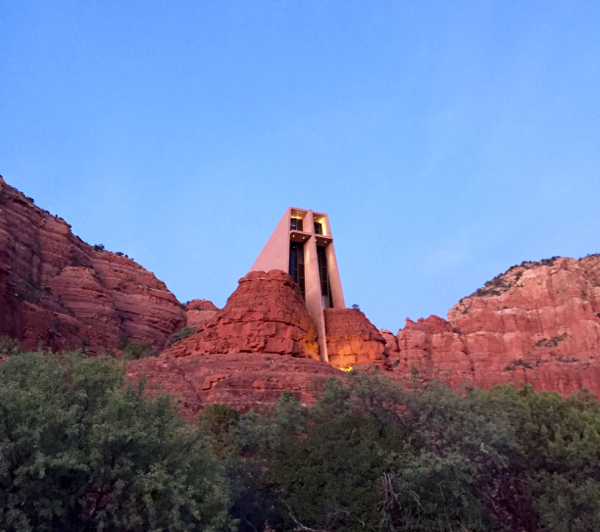
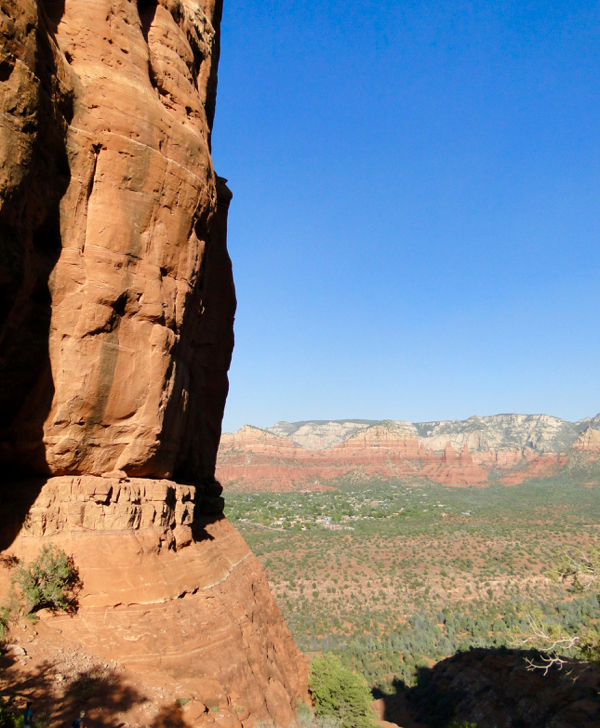
Sedona, a quaint town in the huge red cliffs, is one of Arizona’s most famous and beautiful destinations! Just 50 minutes from Flagstaff, this small town has several fun things to do including Red Rock State Park, the Chapel of the Holy Cross, and the Cathedral Rock Hike.
- For more information on the things to do in Sedona, check out my Sedona Arizona Travel Guide.
Red Rock State Park
Chapel of the Holy Cross
Cathedral Rock Hike
Day #13: Day Trip to the Grand Canyon from Flagstaff
Driving times: 3 hours roundtrip | 158 miles
To put it simply, the Grand Canyon is breathtaking! There is no other place on earth that compares to its vastness. Seeing the Grand Canyon is a Bucket List Trip in itself, so it is a must-see on this American Southwest Road Trip Itinerary!
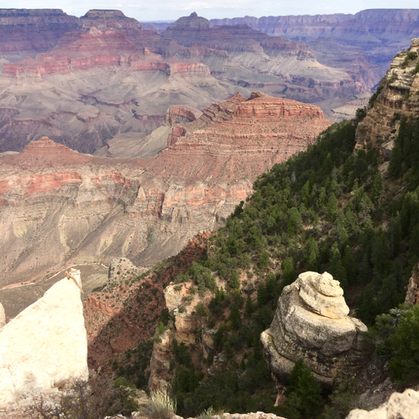
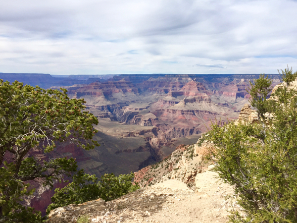
For sweeping views, catch the Rim Trail at Grand Canyon Village or Yaki Point, and enjoy the sweeping views from the South Rim.
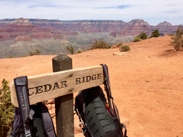
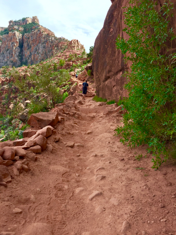
If you’re up for a steeper hike, take South Kaibab Trail to down to Cedar Ridge for a total of 3 miles roundtrip. Just note, you drop over 1,200 feet into the canyon, so give yourself ample time {and water} for the climb out.
- For more tips for your visit, check out my Arizona Grand Canyon Travel Tips.
Views from the Rim Trail
Cedar Ridge
{For more information, read these Arizona Grand Canyon Travel Tips}
Day #14: Drive from Flagstaff to Las Vegas
Driving times: 3 hours 45 minutes to Las Vegas | 253 miles
From Flagstaff, you can drive to Las Vegas in just 3 hours and 45 minutes. If you get an early start driving, you can even get back to Las Vegas by the early afternoon, and catch a night flight out of the city. Or, you could stay one more night, squeeze in a little more Vegas fun, and catch a flight out the next day.
American Southwest Road Trip Itinerary – When to Visit:
The absolute best time to do this road trip would be in the Spring (March-April), or in the Fall (second half of September-October). This American Southwest Road Trip Itinerary covers a vast number of places with wildly varying climates, but across the board you should have the best hiking weather in these months!
Springtime along the South Kaibab Trail in the Grand Canyon – perfect hiking weather!
American Southwest Road Trip Itinerary – How to Get Cheap Airfare
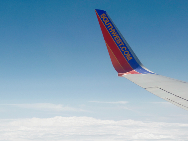
Flying to Las Vegas? Why pay, when you can score FREE airfare?!? When you use Swagbucks, you can get free gift cards for Southwest Airlines and Delta, which both fly into Las Vegas (McCarran International Airport). Overall, this is the the best way to reduce the cost of your airfare to Las Vegas and for your Southwest Road Trip. I’ve been a member of Swagbucks for about 10 years now, and it’s still one of my favorite ways to earn Free airline gift cards!
Here’s how it works:
- Sign up with Swagbucks
- Then start earning Swagbucks SB Points. There are so many EASY ways to earn Swagbucks! You can earn by Searching the Web {just like you would using Google}, Taking Surveys, Using Coupons, Shopping Online, Watching Videos, etc. I typically earn an easy $25 each month on Swagbucks!
- Cash in your Swagbucks SB Points for Free Southwest Airlines Gift Cards and Free Delta Gift Cards!
American Southwest Road Trip Itinerary – How to Get Free and Cheap Gas:
Using Swagbucks, you can also earn free Chevron, Sunoco, and ExxonMobil gift cards to pay for the gas on your road trip! Check out this tutorial for how to earn Free Gas Gift Cards to save money.
Buy a National Park Pass:
For this trip, you really need to buy the National Park Pass. Officially known as the “America the Beautiful Pass”, you can gain access to every US National Park and even some BLM managed lands for a whole year for just $80. Now if you’re wondering, “Will this actually save me money?”, then take a look at these entrance prices below:
- Zion is $35
- Bryce is $35
- Calf Creek Falls is $5
- Capitol Reef is $20
- Arches + Canyonlands is $30
- Grand Canyon is $35
These all add up to a grand total of $160! Yikes! That means by purchasing the $80 America the Beautiful Pass, you will actually end up saving $80! On top of that, you’ll have almost the whole year to explore even more of America’s Incredible National Parks!
You’ll save so much money with the America the Beautiful Pass!
Overall, the southwest is really one of the most incredible places in the world! From the dramatic canyons to sweeping views, there really are so many amazing things to see and do! Now that you’ve read this American Southwest Road Trip Itinerary, check out these travel tips below…
Phoenix Arizona Travel Guide (56 Things to do)
California Road Trip Itinerary (San Francisco to Los Angeles)
Road trip on a Budget – Genius Money Saving Hacks
Dog Road Trip Tips to Make Traveling with Fido Memorable
How to Earn Money on the Road While You Travel!
How to Treat Sunburn Fast
Little-Known Southwest Airlines Money Saving Hacks!
Bucket List Trips You Need to Visit at Least Once!
Now that you’ve read this American Southwest Road Trip Itinerary, don’t miss out on anything else! Follow along with Never Ending Journeys for more fun Travel Inspiration and Ideas!
Have you ever been to the Southwest? What is YOUR favorite destination on this American Southwest Road Trip Itinerary? What places would you like to visit in the region?
Leave a Comment and Share!












Leave a Reply